
Atlantic Salt Meadow
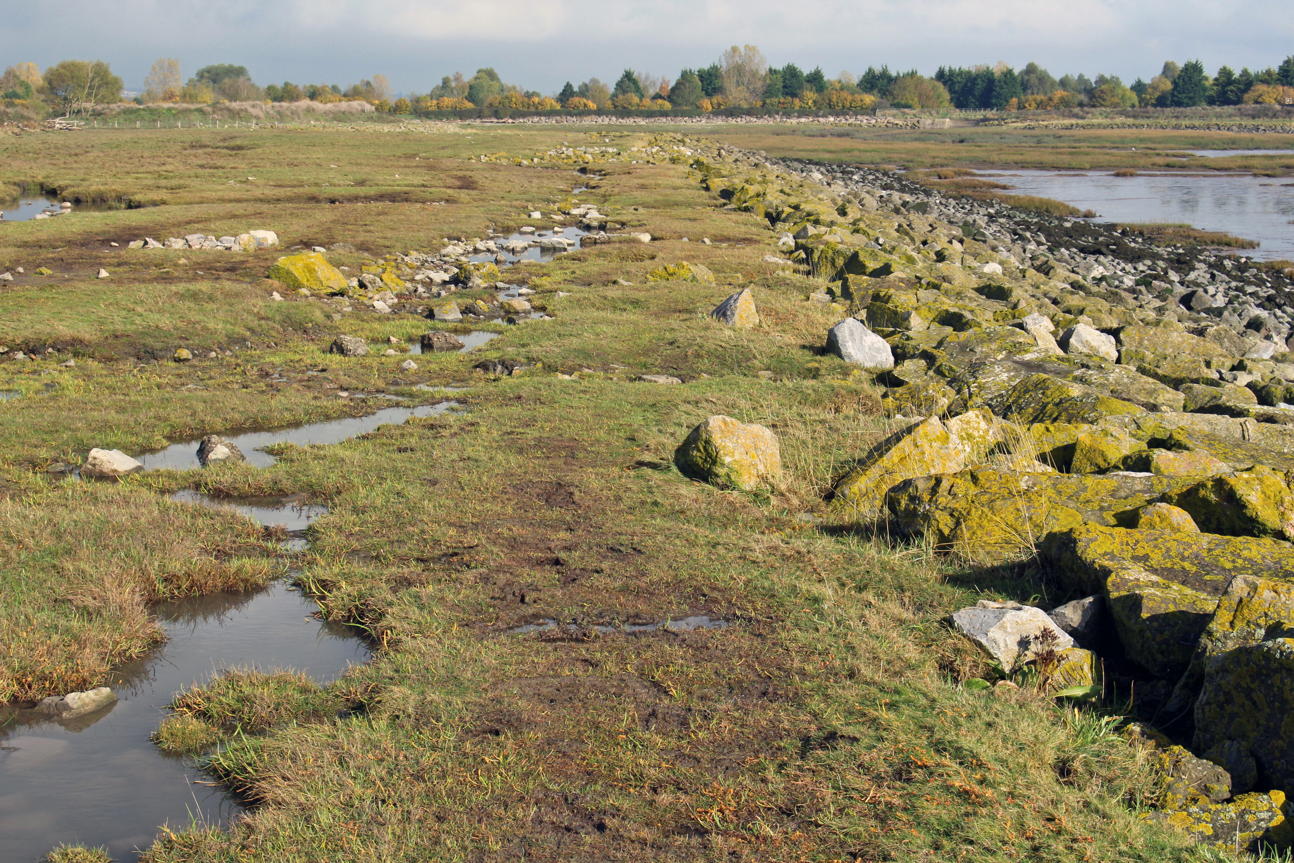
Peterstone Wentloog (C) Rhoda Ballinger.
Atlantic salt meadows are a type of habitat comprised of a variety of different saltmarsh communities.
They develop when halophytic vegetation colonises soft intertidal sediments of mud and sand in areas protected from strong wave action. This vegetation forms the middle and upper reaches of saltmarshes, where tidal inundation still occurs but with a lower frequency and duration.
The Severn Estuary hosts the largest aggregation of saltmarsh in the south and south-west of the UK. It covers approximately 1,400 ha, representing approximately 4% of the total area of saltmarsh in the UK. The majority of the Severn Estuary area is fringed by saltmarsh, including locations such as Aust, Peterstone Wentlooge and Clevedon Pill.
The immense tidal range in the Severn Estuary has led to extensive saltmarsh community development, with an expanded zonation in a stepped formation between the low and high tide. It provides important feeding areas for waterfowl and a safe haven from the tides that flood the mudflats twice a day.
The upper saltmarsh in particular makes ideal high water roosting sites. European white-fronted geese, redshank and shelduck also feed on the saltmarsh itself.
For more information, please see the Severn Estuary EMS Regulation 33 Conservation Advice Package.